Context: Recently seven people were killed while 20 others have been rescued after five or six vehicles along with 20-30 tourists were hit by an avalanche near Nathu La.
About Nathu La:
Nathu La is a mountain pass in the Himalayan peaks that co-joins Sikkim and China.
It is one of the highest motorable roads in the world situated on the Indo-Tibetan border 14450 ft. above sea level.
Nathu means 'listening ears', and La means 'pass'. Nathu La is one of the three open trading border posts between India and China.
The temperature here remains low for most parts Located on the Old Silk Route, Nathu La Pass connects Sikkim to China’s Tibet Autonomous Region.
It was sealed for almost 4 decades after the People’s Republic of China suppressed a Tibetan uprising in 1959.
However, when the former Prime Minister of India, Atal Bihari Vajpayee visited China in 2003, talks to open the strategic route were resumed in 2006 and since then, it has served as an official Border Personnel Meeting (BPM) Point.
Since it is one of the three open trading border posts between India and China, Nathu La Pass has played a key role in the Sino-Indian Trade.
It has also shortened the distance between the important Buddhist and Hindu pilgrimage sites, thus strengthening the economy and improving border relations with China.
A valid permit to visit Nathu La Pass is given to only Indian Nationals.
Context: National Aluminium Company Limited (NALCO) has successfully developed a Bauxite Certified Reference Material (CRM) naming as BARC B1201 in joint collaboration with Bhabha Atomic Research Centre (BARC).
About BARC B1201
It is a bauxite-certified reference material (CRM).
It is the first-of-its-kind CRM in India and the fifth in the world.
What is a Certified Reference Material (CRM)?
CRMs are blocks of metal that come with certificates indicating the concentration of their various constituent elements along with their uncertainty levels.
Testing laboratories use CRMs to calibrate measuring instruments, evaluate test procedures and for quality control purposes.
About National Aluminium Company Limited (NALCO)
It is a Navratna Central Public Sector Enterprises CPSE, under Ministry of Mines, Govt. of India.
It is country’s leading manufacturer and exporter of alumina and aluminium.
What is Bauxite?
It is a sedimentary rock with a relatively high aluminium content.
Almost all of the aluminum that has ever been produced has been extracted from bauxite.
It does not have a specific composition. It is a mixture of hydrous aluminium oxides, aluminium hydroxides, clay minerals, and insoluble materials such as quartz, hematite, magnetite, siderite, and goethite.
How bauxite is formed?
Bauxite is formed by the thorough weathering of many different rocks. Bauxite may grade into laterite or clay, laterally or vertically.
Bauxite Used for Aluminum Production
The first step is to crush the bauxite and purify it using the Bayer Process.
Bayer Process:
In this the bauxite is washed in a hot solution of sodium hydroxide, which leaches aluminum from the bauxite.
The aluminum is precipitated out of solution in the form of aluminum hydroxide, Al(OH)3.
The aluminum hydroxide is then calcined to form alumina, Al2O3.
Aluminum is smelted from the alumina using the Hall-Heroult Process
In the Hall-Heroult Process, the alumina is dissolved in a molten bath of cryolite (Na3AlF6).
Molten aluminum is removed from the solution by electrolysis. This process uses an enormous amount of electricity.
Production and reserves
In India, Odisha alone accounts for 53% of the country’s resources of bauxite, and it is also found in the states of Andhra Pradesh, Jharkhand, Madhya Pradesh and Maharashtra.
Australia is the largest producer of bauxite, followed by Guinea and China.
Context: Recently, a number of initiatives have been taken by the National Mission for Clean Ganga (NMCG) under Arth-Ganga concept, in co-ordination with many Ministries/ Departments of Central and state governments and even NGOs.
What is Arth Ganga project?
Arth Ganga is a sustainable viable economic model conceptualized under "Namami-Gange" program to integrate people in the basin with Ganga Rejuvenation.
It focuses on the sustainable development of the Ganga and its surrounding areas, by focusing on economic activities related to the river.
At its core, the Arth Ganga model seeks to use economics to bridge people with the river.
Prime Minister of India first introduced the concept during the first National Ganga Council meeting in 2019, where he urged for a shift from Namami Gange, the Union Government’s flagship project to clean the Ganga, to the model of Arth Ganga.
There are six key verticals of intervention in the model, namely
Promotion of Zero Budget Natural Farming (ZBNF), which includes promotion of Natural Farming in Ganga Basin.
Monetization and reuse of treated wastewater and sludge. It refers to reuse of treated wastewater by ULBs for generation of revenue and conversion of sludge into usable products such as manure, pavers and bricks for revenue generation as well as safe disposal of sludge.
Development of Livelihood generation opportunities through activities like ‘Ghat Main Haat’ for sale of local products of Ganga cities/towns along riverbanks; self-sustaining of Ghats and capacity building trainings of Ganga Praharis etc. Jalaj units for income generation activities for Ganga Praharis have been set up in many locations.
Encouragement of Public Participation through organizing regular events such as Ganga Aartis, cleanliness drives, Ganga Guide Trainings, Yoga on Ghat, Ghat Pe Haat etc. in coordination with District Ganga Committees.
Promotion of Cultural heritage and tourism by development of small local tourism and cultural circuits; introduction of boat tourism through community jetties; promotion of yoga and wellness, medical tourism, adventure tourism, eco-tourism, enhancement of cultural connection with the river through aartis & Ganga trails;
Institution Building through setting up of decentralized monitoring and governance units like District Ganga Committees (DGCs); enhancement of the capacities of DGCs and other local administration institutions for better water governance and sustenance of the projects, post asset handover.
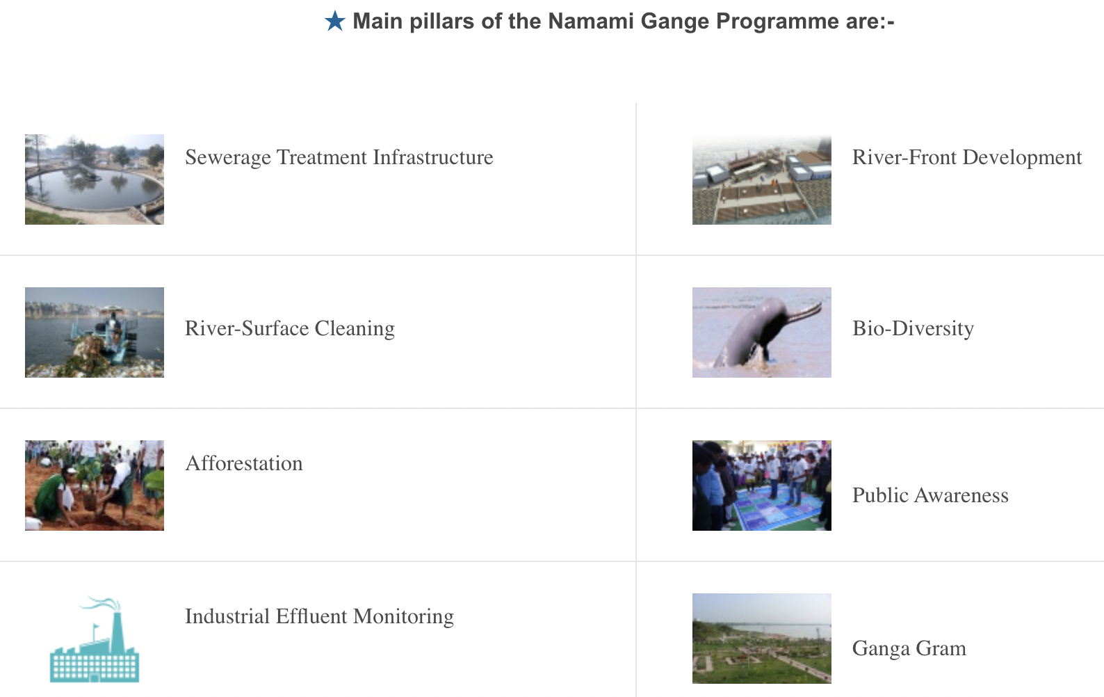
Namami Gange Programme
It is an Integrated Conservation Mission, approved as ‘Flagship Programme’ by the Union Government in 2014, to accomplish the twin objectives of effective abatement of pollution, conservation and rejuvenation of National River Ganga.
National Mission for Clean Ganga (NMCG)
It was registered as a society under the Societies Registration Act 1860.
It acted as implementation arm of National Ganga River Basin Authority(NGRBA) which was constituted under the provisions of the Environment (Protection) Act (EPA),1986.
The Act envisages five tier structure at national, state and district level to take measures for prevention, control and abatement of environmental pollution in river Ganga and to ensure continuous adequate flow of water so as to rejuvenate the river Ganga.
National Ganga Council under chairmanship of Hon’ble Prime Minister of India.
Aims and objectives of NMCG
To ensure effective abatement of pollution and rejuvenation of the river Ganga by adopting a river basin approach to promote inter-sectoral co-ordination for comprehensive planning and management.
To maintain minimum ecological flows in the river Ganga with the aim of ensuring water quality and environmentally sustainable development.
River Ganga
It rises in the Gangotri glacier near Gaumukh (3,900 m) in the Uttarkashi district of Uttarakhand. Here, it is known as the Bhagirathi.
At Devprayag, the Bhagirathi meets the Alaknanda; hereafter, it is known as the Ganga.
The Alaknanda has its source in the Satopanth glacier above Badrinath.
The river has a length of 2,525 km.
It is shared by Uttarakhand (110 km) and Uttar Pradesh (1,450 km), Bihar (445 km) and West Bengal (520 km).
The Ganga river system is the largest in India having a number of perennial and non-perennial rivers originating in the Himalayas in the north and the Peninsula in the south, respectively.
Right bank tributaries: Son , Yamuna, Tamsa (also called Tons), Karamnasa, Punpun, Ajoy, Damodar, Rupnarayan.
Left bank tributaries: Ramganga, Gomati, Ghaghara, Gandak, Kosi and Mahananda.
The river finally discharges itself into the Bay of Bengal near the Sagar Island.
The pass connects the Kashmir Valley to its west with the Dras and Suru valleys to its northeast and the Indus valley further east.
It is the second-highest pass after Fotu La.
History: At the time of the Indo-Pakistani War in 1947, this pass was seized by the Pakistani raiders in 1948 while they were in the wake of capturing Ladakh. On 1st November, the pass was captured by Indian forces under Operation Bison.
The Beacon Force unit and the Vijayak Force unit of the BRO are responsible for the clearing and maintenance of the road during winter.
Note: Zoji La tunnel- The project was approved by the government in 2018. Construction was inaugurated by Prime Minister in May 2018. When completed, it will be the longest bidirectional tunnel in Asia.
Border Roads Organisation
The BRO was constituted in 1960.
To secure India's borders and develop infrastructure in remote areas of the north and north-east states of the country.
It is a road construction executive force in India that provides support to the Indian Armed Forces. It is an integral part of Army.
Motto: “Shramena Sarvam Sadhyam” (Everything is achievable through hardwork)
In order to ensure coordination and expeditious execution of projects, the Government of India set up the Border Roads Development Board (BRDB) with the Prime Minister as Chairman of the board and with the Defence Minister as Deputy chairman.
Brought under the Ministry of Defence in 2015.
Officers are selected through the Indian Engineering Services (IES) Examination conducted by the Union Public Service Commission (UPSC).
Role of the BRO
In Peace: Develop & Maintain the Operational Road Infrastructure of General Staff in the Border Areas. Contribute to the Socio-Economic Development of the Border States.
In War: To Develop & Maintain Roads to Keep Line of Control through in Original Sectors and Re-Deployed Sectors. To Execute additional Tasks as laid down by the Govt Contributing to the War Effort.
Project Beacon and Vijayak- To ensure connectivity for strategic requirements of Defence forces and also local people and management of road infrastructure.